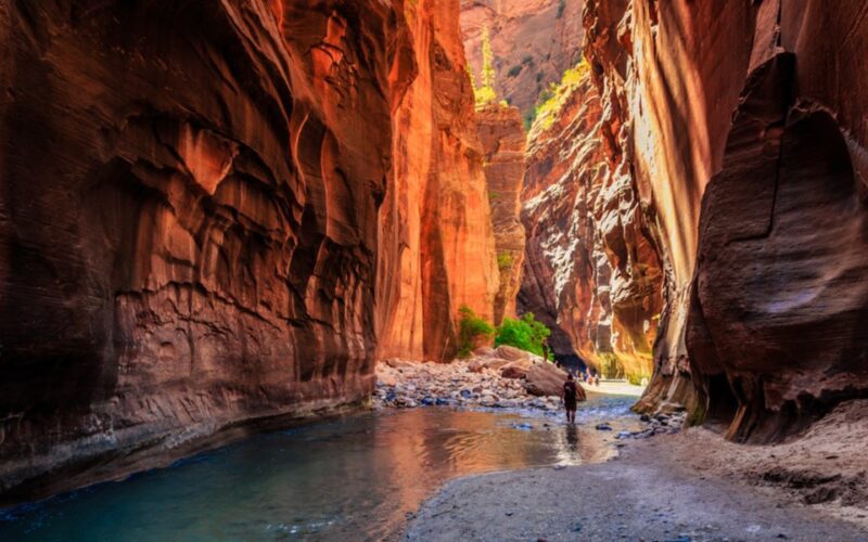
Do You Need a Permit for Buckskin Gulch or Wire Pass?
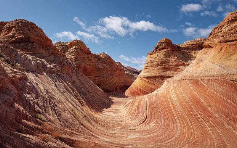
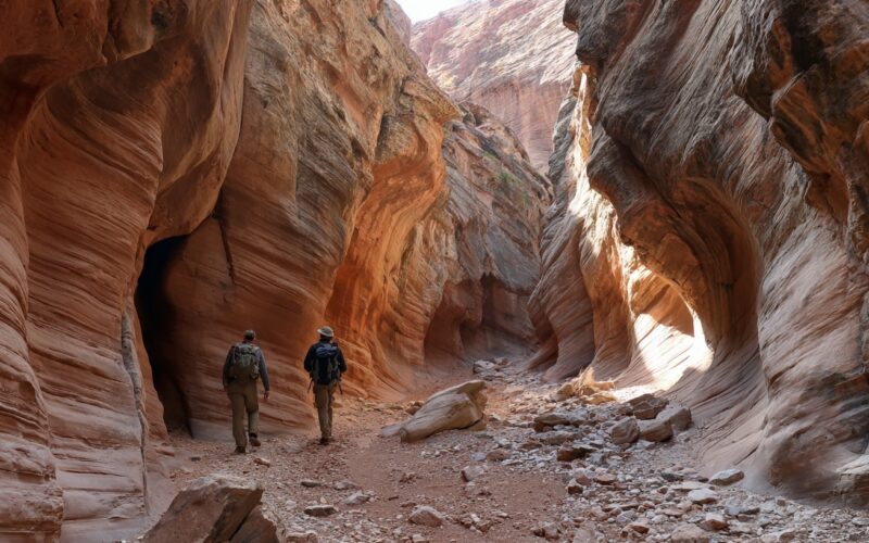
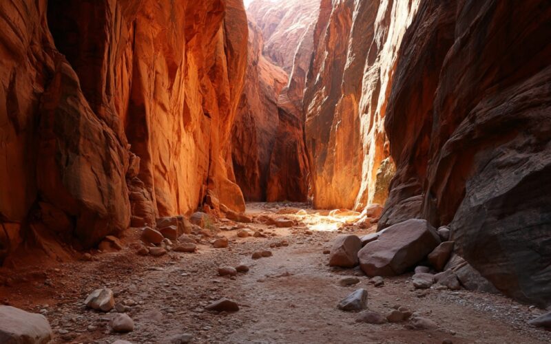
Buckskin Gulch ranks among the longest and deepest slot canyons on Earth, cutting through sandstone in northern Arizona. Narrow corridors, towering walls, and occasional stretches of flowing water define the experience. Access often begins at Wire Pass, a short side canyon that connects directly into Buckskin Gulch. Wire Pass functions as the most common and quickest entry point. Many visitors choose it for day hikes due to its relatively short approach and dramatic slot section. Both areas sit inside the Paria Canyon–Vermilion Cliffs Wilderness, managed by the Bureau of Land Management. Heavy visitation has led to strict regulations. Permits and…